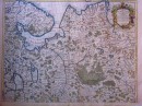
Agrandir
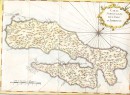
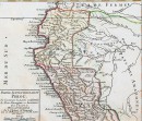
Agrandir
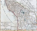
Agrandir
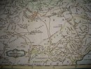
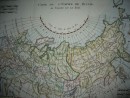
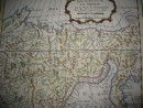
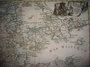
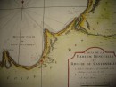
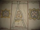
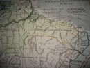
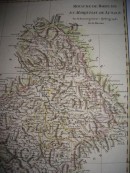
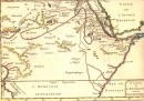
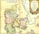
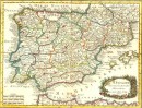
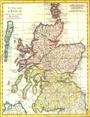
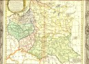
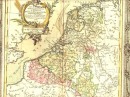
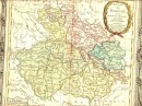
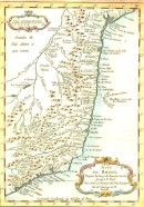
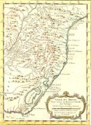
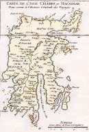
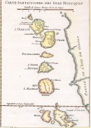
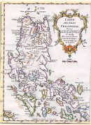
Carte géographique extraite de L'Histoire Philosophique et Politique des Établissemens et du Commerce des Européens dans les deux Indes, 1787. Sans signature, circa R. BONE. Aquarellée à la main, 31,5 x 21 cm. Très bon état, montée sous passe-partout.
30 autres produits dans la même catégorie :