 Agrandir
Agrandir
Agrandir
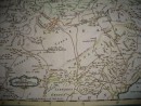
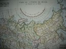
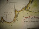
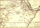
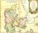
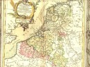
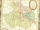
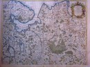
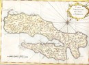
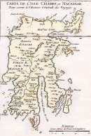
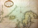
Carte géographique du 18e siècle extraite du "Journal des Voyages", 1757, par Bellin. Aquarellée à la main, 21 x 14 cm. Très bon état, montée sous passe-partout.
30 autres produits dans la même catégorie :
 Agrandir
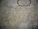
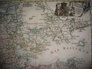
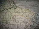
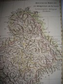
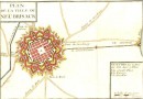
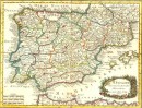
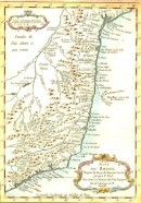
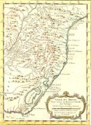
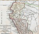
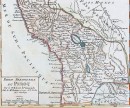
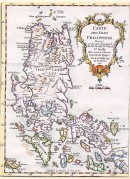
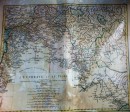
Carte géographique du 18e siècle extraite du "Journal des Voyages", 1757, par Bellin. Aquarellée à la main, 21 x 14 cm. Très bon état, montée sous passe-partout.
30 autres produits dans la même catégorie :