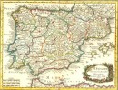
Agrandir
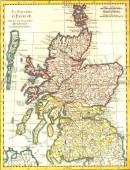
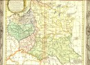
Agrandir
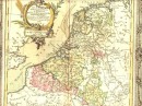
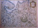
Agrandir
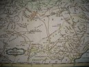
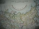
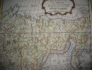
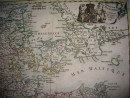
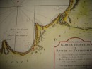
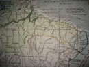
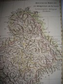
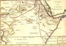
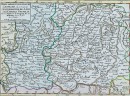
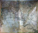
Partie Orientale de l'Empire de RUSSIE extrait de l'Atlas Ruffien et d'autres cartes. Projettée et assujetie aux Observations Astronomiques Postérieures, par Mr BONNE, Mtre de Mathémat? A PARIS Chez Lattré, rue St Jacques, à la Ville de Bordeaux. Avec le Pr. du Roy - 1771 - carte aquarellée à la main, 31,5 x 43,5 cm. Joli cartouche, pliure habituelle sinon très bon état. Scan sur demande.
30 autres produits dans la même catégorie :