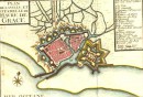
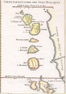
Agrandir
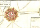
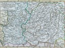
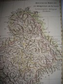
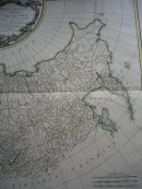
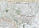
Agrandir
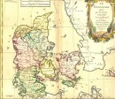
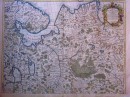
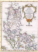
Agrandir
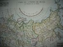
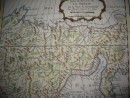
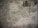
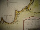
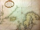
CARTE DE LA TARTARIE OCCIDENTALE Pour servir à l'Histoire Générale des Voyages. Tirée des Auteurs Anglois Par N BELLIN Ingénieur de la Marine - 1749 -carte géographique aquarellée à la main, 31 x 22 cm. Très bon état, scan sur demande.
30 autres produits dans la même catégorie :