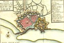
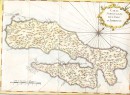
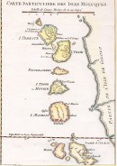
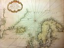
 Agrandir
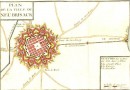
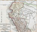
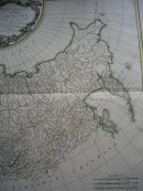
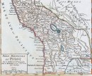
Agrandir
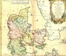
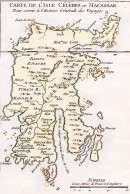
Agrandir
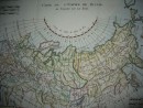
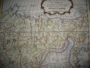
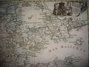
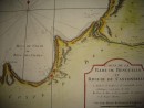
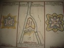
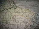
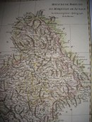
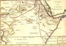
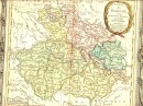
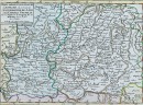
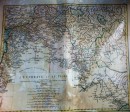
FRANCHE COMTÉ : carte géographique du 18ème siècle aquarellée à la main. Sans signature ni date (1767). 28 x 21 cm, très bon état, scan sur demande.
30 autres produits dans la même catégorie :
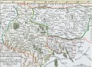
 Agrandir
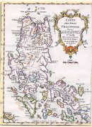
30 autres produits dans la même catégorie :