Agrandir
Agrandir
Agrandir
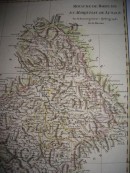
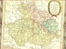
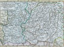
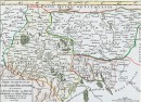
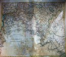
LA LORAINE. A PARIS, Chez CREPY rue S. Jacques 1767 : carte géographique aquarellée à la main, 27,5 x 20,5 cm. Deux jolis cartouches, très bon état, scan sur demande. VENDU
30 autres produits dans la même catégorie :