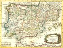
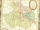
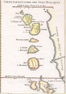
Agrandir
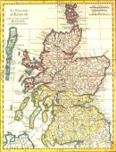
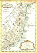
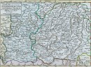
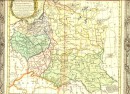
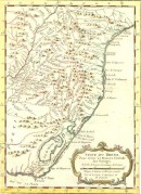
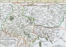
Agrandir
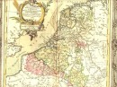
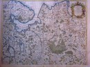
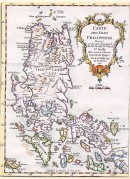
Agrandir
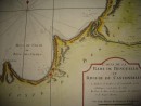
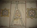
PLAN DE LA SITUATION DE L'ANCIENNE CARTHAGE : carte géographique aquarellée à la main, sans date ni signature. 17,5 x 16,5 cm, deux petits trous dans la marge droite sinon très bon état. Scan sur demande. VENDU
30 autres produits dans la même catégorie :