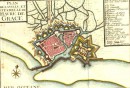
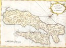
Agrandir
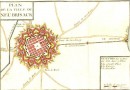
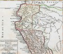
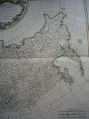
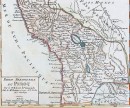
Agrandir
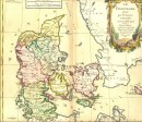
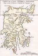
Agrandir
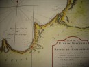
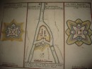
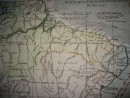
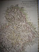
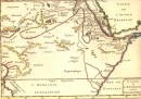
PARTIE DE LA COSTE DE GUINÉE Depuis le Cap de Monte Jusqu'au Cap des Baffes Tirée de Barbot, Echelle de 15 Lieues Marines : carte géographique aquarellée à la main, sans signature ni date (1763). 21 x 15,5 cm, très bon état, scan sur demande. VENDU
30 autres produits dans la même catégorie :