 Maximize
 Maximize
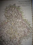
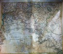
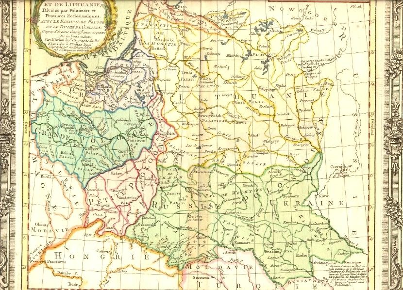
ETATS DE POLOGNE ET DE LITHUANIE Divisés par Palatinats et Provinces Eclclésiastiques. AVEC LE ROYAME DE PRUSSE ET LE DUCHÉ DE CURLANDE. D'après d'exactes connoifsances acquises sur les Lieux mêmes. Par M. Brion Ing. Géographe du Roi. A Paris, chez le Sr Defnos Ing. géographe por. Les Globes et Spères rue St Jacques au Globe. 1766.Original 18th map, hand-coloured, decorative cartouche, 28 x 30 cm. Very good condition.
30 other products in the same category:


