Maximize
Maximize
Maximize
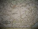
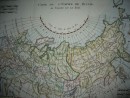
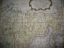
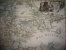
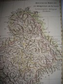
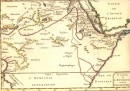
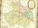
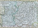
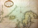
LE DANEMARK divisé par Provinces, et Diocèfes sous une Métropole. Par le Sr Brion, Ingénieur-Géographe du Roi. A Paris, chez le Sr Desnos. Ingr pour les globes et sphères, rue St Jacques, au Globe, 1766.Original map 18th, hand-coloured, 30 x 28,5 cm. Decorative title cartouche, usual folding otherwise very good condition.
30 other products in the same category: