Welcome Login Your Account
0,00 € Shipping 0,00 € Total
Cart Check out
Reference:
Availability:
Availability date:
1 Item in stock Items in stock
Warning: Last items in stock!
150,00 €
Quantity:
This product is not sold individually. You must select at least 1 quantity for this product.
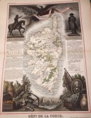
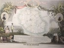
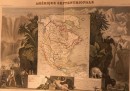
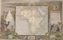
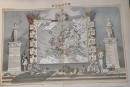
Geographic map drawn up by V. Levasseur and engraved on steel by Laguillermie. 1852, geographical border drawn by Raimond Bonheur watercolored by hand, 43 x 30 cm. Very good condition, sent in tube.
11 other products in the same category:
PLANISPHÈRE...
LA CORSE 1845
DÉPt. DE LA...
ASIE
ÎLE DE LA...
ROYAUME DES...
CARTE DES...
CARTE...
AMÉRIQUE...
AFRIQUE
EUROPE